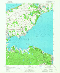
1956 Map of Mattituck
USGS Topo · Published 1966About this map
Great Peconic Bay and Flanders Bay dominate this mid-century landscape, separating the North Fork's agricultural and village centers from the wooded interior of the South Fork. On the north side, the Long Island Railroad links established communities like Mattituck, Laurel, and Jamesport, where orchards and field lines define the topography near Long Island Sound. The map reveals a dense network of freshwater ponds such as Marratooka Lake and Laurel Lake, which provided natural focal points for early settlement and recreational camps like Camp Immaculate and Camp Malloy.
Find a feature on this map
72 named features on this map. Tap any name to fly to it.
Don’t see what you’re looking for? This feature index may not catch every label — zoom into the map to look around manually.
Map Details
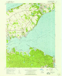
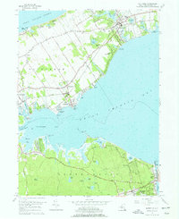
Editions of this 1956 Mattituck Map
4 editions found

Other maps of this area

1903 · Sag Harbor
USGS Topo · 1:62,500

1903 · Riverhead
USGS Topo · 1:62,500

1904 · Sag Harbor
USGS Topo · 1:62,500

1904 · Shelter Island
USGS Topo · 1:62,500

1904 · Riverhead
USGS Topo · 1:62,500

1943 · Riverhead
USGS Topo · 1:62,500

1947 · Mattituck
USGS Topo · 1:24,000

1947 · Mattituck Hills
USGS Topo · 1:24,000

1947 · Southold
USGS Topo · 1:24,000

1947 · Southampton
USGS Topo · 1:24,000