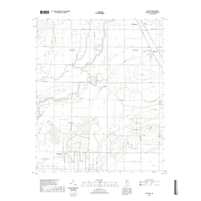
2020 Map of Mattson
USGS Topo · Published 2020About this map
Big Sunflower River and a complex network of bayous define the low-lying terrain of Coahoma County, Mississippi. The landscape is marked by a grid of rural roads and scattered small settlements, including Mattson, Claremont, Counts, and Roundaway. This area of the Delta retains a high concentration of small community burial grounds that provide a vital link to local genealogy, such as Mount Horeb Cem, True Vine Cem, and Cherry Hill Cem. The intricate hydrology of the region is evident in the winding courses of Fishing Bayou, Harris Bayou, and Black Bayou, which carve through the agricultural fields. Family names are preserved in landmarks like Dulaney- Ross Lake and several smaller family cemeteries like Robinson Cem and Johnson Cem.
Find a feature on this map
55 named features on this map. Tap any name to fly to it.
Don’t see what you’re looking for? This feature index may not catch every label — zoom into the map to look around manually.
Map Details
Editions of this 2020 Mattson Map
This is the sole edition of this map. No revisions or reprints were ever made.
Other maps of this area

1931 · Sumner
USGS Topo · 1:48,000

1931 · Drew
USGS Topo · 1:48,000

1932 · Tutwiler
USGS Topo · 1:48,000

1935 · Clarksdale
USGS Topo · 1:62,500

1935 · Sumner
USGS Topo · 1:62,500

1935 · Tutwiler
USGS Topo · 1:62,500

1935 · Mound Bayou
USGS Topo · 1:62,500

1939 · Sumner
USGS Topo · 1:62,500

1939 · Tutwiler
USGS Topo · 1:62,500

1939 · Clarksdale
USGS Topo · 1:62,500