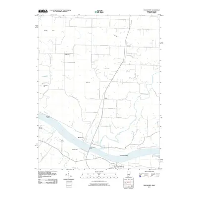
2010 Map of Mauckport
USGS Topo · Published 2010About this map
The Ohio River carves a deep path between Indiana and Kentucky on this quadrangle, defining the local landscape and commerce. On the northern bank, the historic river town of Mauckport sits near the crossing to Brandenburg, Kentucky, where the Matthew Welsh Bridge connects the two states. The terrain is characterized by prominent elevations such as Mount Tom and Hayes Hill, alongside evocative lowlands like Haunted Hollow and Gas Well Hollow.
Find a feature on this map
62 named features on this map. Tap any name to fly to it.
Don’t see what you’re looking for? This feature index may not catch every label — zoom into the map to look around manually.
Map Details
Editions of this 2010 Mauckport Map
This is the sole edition of this map. No revisions or reprints were ever made.
Other maps of this area

1928 · Hardinsburg
USGS Topo · 1:48,000

1931 · Hardinsburg
USGS Topo · 1:62,500

1931 · Corydon
USGS Topo · 1:62,500

1941 · Ekron
USGS Topo · 1:62,500

1944 · Corydon West
USGS Topo · 1:24,000

1946 · Rock Haven
USGS Topo · 1:24,000

1946 · Leavenworth
USGS Topo · 1:24,000

1947 · Irvington
USGS Topo · 1:24,000

1947 · Leavenworth
USGS Topo · 1:24,000

1947 · Corydon West
USGS Topo · 1:24,000