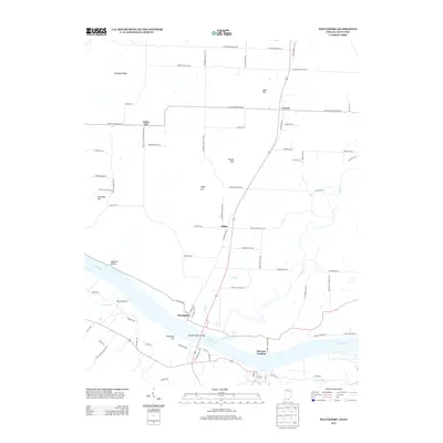
2013 Map of Mauckport
USGS Topo · Published 2013About this map
Mauckport serves as a focal point where Highway 135 meets the Ohio River, illustrating a landscape defined by its riparian connections and elevated terrain. The riverfront is marked by Morvins Landing and the mouth of Buck Creek, features that have historically shaped local trade and transport. Inland, the map reveals a series of small, scattered communities like Central, Valley City, and Glidas, each linked by a network of rural roads that navigate the area's prominent topographic features. High points such as Mount Tom, Hayes Hill, and Wolfpen Ridge punctuate the landscape, while the curiously named Haunted Hollow and the Russell Airport reflect diverse uses of the land, from traditional aviation to local lore. This survey captures the rural character of the Indiana-Kentucky border at the start of the 21st century.
Find a feature on this map
78 named features on this map. Tap any name to fly to it.
Don’t see what you’re looking for? This feature index may not catch every label — zoom into the map to look around manually.
Map Details
Editions of this 2013 Mauckport Map
This is the sole edition of this map. No revisions or reprints were ever made.
Other maps of this area

1928 · Hardinsburg
USGS Topo · 1:48,000

1931 · Hardinsburg
USGS Topo · 1:62,500

1931 · Corydon
USGS Topo · 1:62,500

1941 · Ekron
USGS Topo · 1:62,500

1944 · Corydon West
USGS Topo · 1:24,000

1946 · Rock Haven
USGS Topo · 1:24,000

1946 · Leavenworth
USGS Topo · 1:24,000

1947 · Irvington
USGS Topo · 1:24,000

1947 · Leavenworth
USGS Topo · 1:24,000

1947 · Corydon West
USGS Topo · 1:24,000