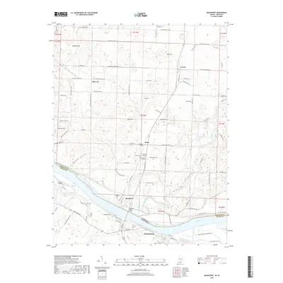
2019 Map of Mauckport
USGS Topo · Published 2019About this map
The Ohio River serves as the primary geographic and political divide in this 2019 study, separating the riverfront communities of Mauckport and Brandenburg. This section of the river valley is defined by significant elevation changes, from the alluvial plains of Crozier Bottom to the prominent heights of Hamilton Hill and Wolfpen Ridge. The Matthew Welsh Bridge provides a vital transportation link across the water, connecting the road networks of Harrison County and Meade County.
Find a feature on this map
78 named features on this map. Tap any name to fly to it.
Don’t see what you’re looking for? This feature index may not catch every label — zoom into the map to look around manually.
Map Details
Editions of this 2019 Mauckport Map
This is the sole edition of this map. No revisions or reprints were ever made.
Other maps of this area

1928 · Hardinsburg
USGS Topo · 1:48,000

1931 · Hardinsburg
USGS Topo · 1:62,500

1931 · Corydon
USGS Topo · 1:62,500

1941 · Ekron
USGS Topo · 1:62,500

1944 · Corydon West
USGS Topo · 1:24,000

1946 · Rock Haven
USGS Topo · 1:24,000

1946 · Leavenworth
USGS Topo · 1:24,000

1947 · Irvington
USGS Topo · 1:24,000

1947 · Leavenworth
USGS Topo · 1:24,000

1947 · Corydon West
USGS Topo · 1:24,000