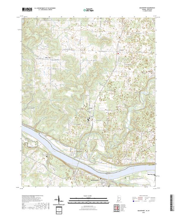
2022 Map of Mauckport
USGS Topo · Published 2022About this map
The Ohio River serves as the dividing line between Harrison and Meade counties in this detailed survey of the border region. On the northern bank, the historic river town of Mauckport sits near the mouth of Buck Creek, characterized by its grid of streets and proximity to the Old Mauckport Cemetery. This area reflects the traditional river-oriented economy of the mid-20th century, where small hamlets like Valley City, Central, and Glidas dot the uplands of the Mitchell Plain.
Find a feature on this map
109 named features on this map. Tap any name to fly to it.
Don’t see what you’re looking for? This feature index may not catch every label — zoom into the map to look around manually.
Map Details
Editions of this 2022 Mauckport Map
This is the sole edition of this map. No revisions or reprints were ever made.
Other maps of this area

1928 · Hardinsburg
USGS Topo · 1:48,000

1931 · Hardinsburg
USGS Topo · 1:62,500

1931 · Corydon
USGS Topo · 1:62,500

1941 · Ekron
USGS Topo · 1:62,500

1944 · Corydon West
USGS Topo · 1:24,000

1946 · Rock Haven
USGS Topo · 1:24,000

1946 · Leavenworth
USGS Topo · 1:24,000

1947 · Irvington
USGS Topo · 1:24,000

1947 · Leavenworth
USGS Topo · 1:24,000

1947 · Corydon West
USGS Topo · 1:24,000