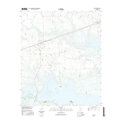
2016 Map of Maud
USGS Topo · Published 2016About this map
The town of Maud serves as the primary hub in this portion of Bowie County, where the southern boundary follows the winding course of the Bowie Co Cass Co line. This landscape is defined by the extensive waters of Wright Patman Lake, which occupies the southern half of the quadrangle. Within the lake, McFarland Island sits as a prominent landform, while numerous drainage systems including Big Cr, Milan Cr, and Thompson Cr feed into the basin. To the northeast, the settlement of Redwater is connected to Maud by a straight transit corridor cutting through the wooded lowlands. Local history is anchored by sites like Harris Cem and Ridge Cem, while the network of rural roads such as Berry Farm Rd and various county routes illustrates the modern settlement patterns and land use surrounding the reservoir.
Find a feature on this map
66 named features on this map. Tap any name to fly to it.
Don’t see what you’re looking for? This feature index may not catch every label — zoom into the map to look around manually.
Map Details
Editions of this 2016 Maud Map
This is the sole edition of this map. No revisions or reprints were ever made.
Other maps of this area

1907 · Atlanta
USGS Topo · 1:62,500

1909 · New Boston
USGS Topo · 1:62,500

1909 · Texarkana
USGS Topo · 1:62,500

1910 · Linden
USGS Topo · 1:62,500

1910 · Atlanta
USGS Topo · 1:62,500

1953 · Texarkana
USGS Topo · 1:250,000

1954 · New Boston
USGS Topo · 1:24,000

1954 · Leary
USGS Topo · 1:24,000

1954 · Hooks
USGS Topo · 1:24,000

1954 · Lake Texarkana
USGS Topo · 1:24,000