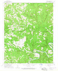
1966 Map of Maumee
USGS Topo · Published 1967About this map
The Buffalo River snakes through the southern portion of this landscape, its tight bends carving through deep hollows at the border of Marion and Searcy Counties. This mid-1960s survey captures a rural Ozark community characterized by isolated settlements and family-named terrain features. The presence of an Old RR Grade along the river suggests a shift in local transport and industry, moving away from early timber or mineral extraction toward a more dispersed agricultural pattern.
Find a feature on this map
52 named features on this map. Tap any name to fly to it.
Don’t see what you’re looking for? This feature index may not catch every label — zoom into the map to look around manually.
Map Details
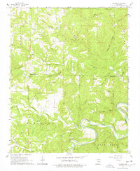
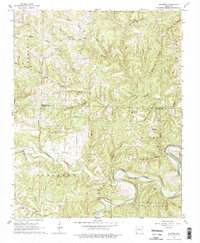
Editions of this 1966 Maumee Map
3 editions found
Other maps of this area

1892 · Marshall
USGS Topo · 1:125,000

1893 · Yellville
USGS Topo · 1:125,000

1894 · Marshall
USGS Topo · 1:125,000

1901 · Marshall
USGS Topo · 1:125,000

1903 · Yellville
USGS Topo · 1:125,000

1905 · Yellville
USGS Topo · 1:125,000

1929 · Yellville
USGS Topo · 1:125,000

1939 · Snowball
USGS Topo · 1:62,500

1941 · Snowball
USGS Topo · 1:62,500

1942 · Snowball
USGS Topo · 1:62,500