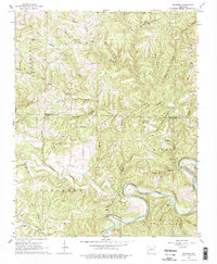
1966 Map of Maumee
USGS Topo · Published 1978About this map
The Buffalo River snakes through the southern reaches of this landscape, creating a dramatic corridor of bluffs and hollows along the border of Marion and Searcy Counties. This mid-century survey reveals a rural Ozark interior defined by small clusters of community life, including the Community Hall and Burns Cemetery near Burns Creek. The terrain is marked by a deep network of named drainages like Copper Mine Hollow and Granny Price Hollow, which speak to the area's local history and past mining interests. An Old RR Grade winds along the slopes above Duff Creek, tracing the path of a former mountain rail line that once connected these isolated settlements. Navigation across the rugged water systems is highlighted by Maumee Crossing, while natural features like Elm Cave and Lay Falls punctuate the landscape's diverse topography.
Find a feature on this map
57 named features on this map. Tap any name to fly to it.
Don’t see what you’re looking for? This feature index may not catch every label — zoom into the map to look around manually.
Map Details
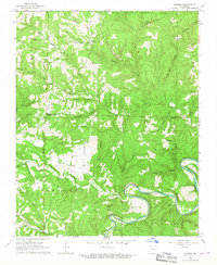
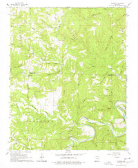
Editions of this 1966 Maumee Map
3 editions found
Other maps of this area

1892 · Marshall
USGS Topo · 1:125,000

1893 · Yellville
USGS Topo · 1:125,000

1894 · Marshall
USGS Topo · 1:125,000

1901 · Marshall
USGS Topo · 1:125,000

1903 · Yellville
USGS Topo · 1:125,000

1905 · Yellville
USGS Topo · 1:125,000

1929 · Yellville
USGS Topo · 1:125,000

1939 · Snowball
USGS Topo · 1:62,500

1941 · Snowball
USGS Topo · 1:62,500

1942 · Snowball
USGS Topo · 1:62,500