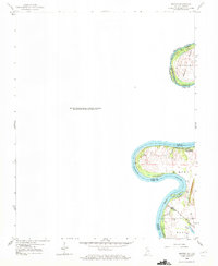
1959 Map of Maunie
USGS Topo · Published 1972About this map
Ribeyre Island and Twin Sister Island No 2 define the winding course of the Wabash River along the border between Illinois and Indiana. This late 1950s survey captures a river landscape shaped by active shifting, where the Wabash River (Old Channel) reflects former paths of the waterway. The land is marked by small-scale energy extraction, as seen by the Oil Wells scattered across the floodplain and river islands. Industrial transport is anchored by the Louisville and Nashville rail line, which cuts through the southern townships of Lynn and Black. Inland from the river, the terrain is characterized by depressions like Weirs Lake, while townships such as Harmony manage the agricultural and industrial resources of this riverine borderland.
Find a feature on this map
22 named features on this map. Tap any name to fly to it.
Don’t see what you’re looking for? This feature index may not catch every label — zoom into the map to look around manually.
Map Details
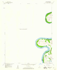
Editions of this 1959 Maunie Map
2 editions found
Other maps of this area

1903 · New Harmony
USGS Topo · 1:62,500

1903 · Patoka
USGS Topo · 1:125,000

1905 · New Haven
USGS Topo · 1:62,500

1906 · New Haven
USGS Topo · 1:62,500

1917 · Uniontown
USGS Topo · 1:62,500

1938 · New Harmony
USGS Topo · 1:62,500

1940 · Carmi
USGS Topo · 1:62,500

1943 · Carmi
USGS Topo · 1:62,500

1949 · Paducah
USGS Topo · 1:250,000

1949 · New Haven
USGS Topo · 1:62,500