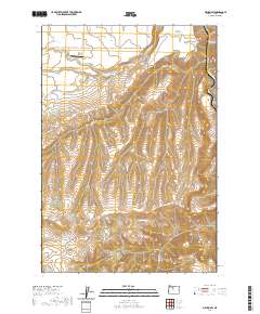
2020 Map of Maupin SW
USGS Topo · Published 2020About this map
Juniper Flat and the Natural Pasture define the high plateau landscape of Wasco County, where the terrain drops sharply toward the deep incision of the Deschutes River. This 2020 survey illustrates a complex system of drainage and irrigation, with the Kelly Lateral canal cutting across the northern sections while Wapinitia Creek, Rice Creek, and Nena Creek carve rugged breaks into the topography. The southern portion of the map is dominated by the northern reaches of the Mutton Mountains, an area marked by numerous Public Land Survey System Protraction Blocks (PB), indicating remote or unsurveyed terrain historically. Significant infrastructure is limited to the Nelson Ranch Airport and a network of rural routes such as Reservation Road and Natural Pasture Road, which facilitate movement between the canyons and the grazing lands above the river corridor.
Find a feature on this map
34 named features on this map. Tap any name to fly to it.
Don’t see what you’re looking for? This feature index may not catch every label — zoom into the map to look around manually.
Map Details
Editions of this 2020 Maupin SW Map
This is the sole edition of this map. No revisions or reprints were ever made.
Other maps of this area

1928 · Madras
USGS Topo · 1:125,000

1930 · Dufur
USGS Topo · 1:125,000

1931 · Madras
USGS Topo · 1:125,000

1934 · Dufur
USGS Topo · 1:125,000

1953 · The Dalles
USGS Topo · 1:250,000

1955 · Bend
USGS Topo · 1:250,000

1956 · The Dalles
USGS Topo · 1:250,000

1957 · Bend
USGS Topo · 1:250,000

1957 · The Dalles
USGS Topo · 1:250,000

1958 · Bend
USGS Topo · 1:250,000