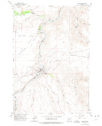
1962 Map of Maupin
USGS Topo · Published 1975About this map
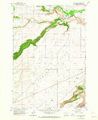
The Deschutes River carves a deep path through the high desert of Central Oregon in this early 1960s survey, highlighting the corridor where water and rail dictate human settlement. The town of Maupin sits at a critical junction near East Maupin and Cambrai, where the Oregon Trunk (S P and S) railroad follows the river's winding course. To the north, the White River flows through Tygh Valley, powering the local economy via the Powerhouse and Gaging Sta. This landscape is defined by the contrast between the fertile river bottom, home to the Fish Hatchery at Oak Springs, and the dry expansive plateau of Juniper Flat. Researchers will find the rugged eastern canyons like Buck Hollow and Bakeoven Hollow sparsely inhabited, marked only by remote stations such as the Bake Radio Facility and scattered landmarks like Devils Halfacre.
Find a feature on this map
31 named features on this map. Tap any name to fly to it.
Don’t see what you’re looking for? This feature index may not catch every label — zoom into the map to look around manually.
Map Details
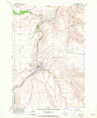
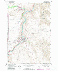
Editions of this 1962 Maupin Map
3 editions found
Other maps of this area

1930 · Dufur
USGS Topo · 1:125,000

1934 · Dufur
USGS Topo · 1:125,000

1953 · The Dalles
USGS Topo · 1:250,000

1956 · The Dalles
USGS Topo · 1:250,000

1957 · The Dalles
USGS Topo · 1:250,000

1962 · Sherars Bridge
USGS Topo · 1:24,000

1962 · Postage Stamp Butte
USGS Topo · 1:24,000
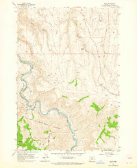
1962 · Dant
USGS Topo · 1:24,000

1962 · Sinamox
USGS Topo · 1:24,000
1962 · Tygh Valley
USGS Topo · 1:24,000