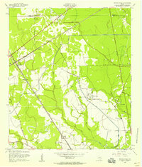
1957 Map of Mauriceville
USGS Topo · Published 1958About this map
Mauriceville and its surrounding wetlands are defined by the convergence of heavy rail and a complex network of bayous in the late 1950s. The Kansas City Southern and Missouri Pacific railroads intersect near Lemonville, anchoring a landscape where timber and petroleum interests meet. Low-lying areas are crisscrossed by an extensive system of levees and drainage features like the Lemonville Canal and an Abandoned Canal, reflecting persistent efforts to manage the water of Adams Bayou and Gum Gully Bayou. Rural life is marked by several small family and community burial grounds, including Wilkinson Cem and Parish Cem, alongside the Little Cypress Sch. The presence of numerous Oil Wells and a prominent Lookout Tower speaks to the industrial and resource management priorities of the Orange County backcountry during this era of development.
Find a feature on this map
37 named features on this map. Tap any name to fly to it.
Don’t see what you’re looking for? This feature index may not catch every label — zoom into the map to look around manually.
Map Details
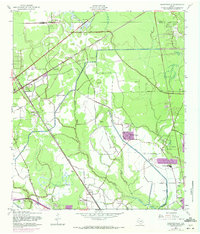
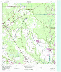
Editions of this 1957 Mauriceville Map
Other maps of this area

1926 · Terry
USGS Topo · 1:24,000

1926 · Texla
USGS Topo · 1:24,000

1926 · Mauriceville
USGS Topo · 1:24,000

1932 · Orange
USGS Topo · 1:62,500

1943 · Orangefield
USGS Topo · 1:24,000

1943 · Mauriceville
USGS Topo · 1:24,000

1943 · Terry
USGS Topo · 1:24,000

1943 · Texla
USGS Topo · 1:24,000

1946 · Phoenix Lake
USGS Topo · 1:31,680

1947 · Starks
USGS Topo · 1:31,680