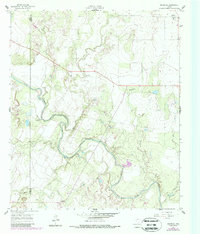
1961 Map of Maverick
USGS Topo · Published 1988About this map
The Colorado River winds through the heart of this landscape along the boundary of Coke Co and Runnels Co. The map documents a rural Texas environment defined by small agricultural clusters and the intricate drainage systems of Oak Creek, Hog Creek, and Juniper Creek. Cultural life is anchored by family-named landmarks and local institutions, notably the Brookshire Ch and three distinct burial sites: Norton Cem, Maverick Cem, and Castleberry Cem.
Find a feature on this map
17 named features on this map. Tap any name to fly to it.
Don’t see what you’re looking for? This feature index may not catch every label — zoom into the map to look around manually.
Map Details
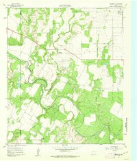
Editions of this 1961 Maverick Map
2 editions found
Other maps of this area

1891 · Hayrick
USGS Topo · 1:125,000

1894 · Hayrick
USGS Topo · 1:125,000

1921 · Bronte
USGS Topo · 1:31,680

1921 · Baker Flat
USGS Topo · 1:31,680

1921 · Maverick
USGS Topo · 1:31,680

1921 · Quarry Creek
USGS Topo · 1:31,680

1921 · Rowena
USGS Topo · 1:31,680

1921 · Mays School
USGS Topo · 1:31,680

1954 · San Angelo
USGS Topo · 1:250,000

1957 · Miles
USGS Topo · 1:62,500