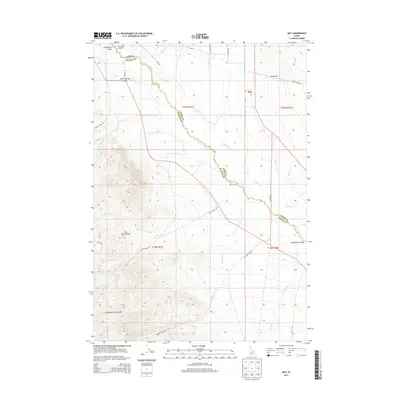
2013 Map of May
USGS Topo · Published 2013About this map
Pahsimeroi Valley serves as the central corridor of this Idaho landscape, where the Pahsimeroi River meanders along the border of Lemhi and Custer counties. This high-desert valley is flanked by the towering heights of the Lost River Range and the Pahsimeroi Mountains, creating a dramatic contrast between the irrigated agricultural floor and the surrounding mountain slopes. The small settlement of May is the primary hub, supported by the May Airport and a network of local thoroughfares like Main St and Hooper Ln.
Find a feature on this map
36 named features on this map. Tap any name to fly to it.
Don’t see what you’re looking for? This feature index may not catch every label — zoom into the map to look around manually.
Map Details
Editions of this 2013 May Map
This is the sole edition of this map. No revisions or reprints were ever made.
Other maps of this area

1929 · Bayhorse
USGS Topo · 1:125,000

1935 · Borah Peak
USGS Topo · 1:125,000

1938 · Borah Peak
USGS Topo · 1:125,000

1955 · Dubois
USGS Topo · 1:250,000

1956 · Doublespring
USGS Topo · 1:62,500

1956 · May
USGS Topo · 1:62,500

1956 · Challis
USGS Topo · 1:62,500

1957 · Challis
USGS Topo · 1:250,000

1958 · Dubois
USGS Topo · 1:250,000

1960 · Challis
USGS Topo · 1:250,000