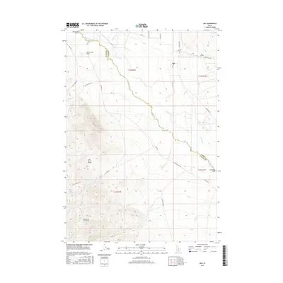
2017 Map of May
USGS Topo · Published 2017About this map
The Pahsimeroi Valley serves as a broad agricultural and ranching corridor between the high peaks of the Lost River Range and the Pahsimeroi Mountains. At the heart of this valley, the small community of May is centered along Main St, supported by local infrastructure like the May Airport and the May Cem located further north along Pahsimeroi Rd. The landscape is defined by the winding course of the Pahsimeroi River, which gathers numerous tributaries including Patterson Cr, Morse Cr, and Sulphur Cr. The grid of local roads, such as Whitworth Ln and Hooper Ln, reflects the rural land divisions common in this part of Custer and Lemhi Counties. To the west, the terrain rises sharply into the complex drainages of Burnt Spring Gulch and Lawson Cr.
Find a feature on this map
36 named features on this map. Tap any name to fly to it.
Don’t see what you’re looking for? This feature index may not catch every label — zoom into the map to look around manually.
Map Details
Editions of this 2017 May Map
This is the sole edition of this map. No revisions or reprints were ever made.
Other maps of this area

1929 · Bayhorse
USGS Topo · 1:125,000

1935 · Borah Peak
USGS Topo · 1:125,000

1938 · Borah Peak
USGS Topo · 1:125,000

1955 · Dubois
USGS Topo · 1:250,000

1956 · Doublespring
USGS Topo · 1:62,500

1956 · May
USGS Topo · 1:62,500

1956 · Challis
USGS Topo · 1:62,500

1957 · Challis
USGS Topo · 1:250,000

1958 · Dubois
USGS Topo · 1:250,000

1960 · Challis
USGS Topo · 1:250,000