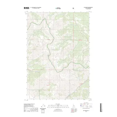
2023 Map of May Mountain
USGS Topo · Published 2023About this map
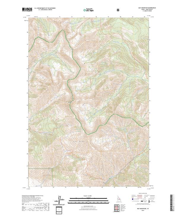
May Mtn stands as a central topographic anchor within this portion of the Lemhi Range, where the boundaries of the Salmon National Forest and Challis National Forest meet. This high-altitude drainage network is defined by steep ridges and narrow canyons, with water moving through Hayden Creek to the northeast and Morgan Creek to the southwest. The landscape is marked by a sophisticated system of backcountry access points, including the Little Morgan-Morse Creek Trl and the Patterson-Morse Creek Trl, which follow the natural contours of the steep terrain. For those studying the region, the map reveals how historical pack trails and modern forest roads, such as Morse Creek Rd, have long served as the primary arteries through these protected lands, connecting disparate watersheds across the mountain crests.
Find a feature on this map
27 named features on this map. Tap any name to fly to it.
Don’t see what you’re looking for? This feature index may not catch every label — zoom into the map to look around manually.
Map Details
Editions of this 2023 May Mountain Map
2 editions found
Other maps of this area

1955 · Dubois
USGS Topo · 1:250,000

1956 · Patterson
USGS Topo · 1:62,500

1956 · May
USGS Topo · 1:62,500

1956 · Lemhi
USGS Topo · 1:62,500

1958 · Dubois
USGS Topo · 1:250,000
1962 · Allison Creek
USGS Topo · 1:24,000
1962 · Lem Peak
USGS Topo · 1:24,000

1980 · Leadore
USGS Topo · 1:100,000
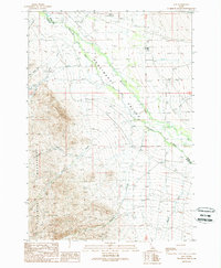
1989 · May
USGS Topo · 1:24,000
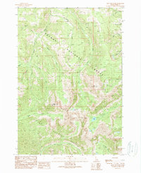
1989 · Mogg Mountain
USGS Topo · 1:24,000