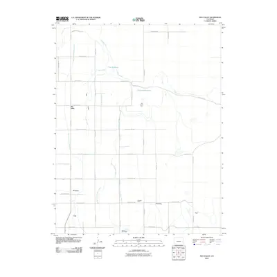
2010 Map of May Valley
USGS Topo · Published 2010About this map
The agricultural landscape of May Valley in Prowers County is defined by an extensive network of irrigation infrastructure designed to manage water across the arid Colorado plains. Major engineering features like Fort Lyons Dam and Sunny Brook Dam support the distribution of water through a complex system of channels, including the Pawnee Canal, Comanche Canal, and various laterals such as the James Lateral and Smith Lateral. These waterways feed into storage points like Prince Reservoir and the expansive Fort Lyons Reservoir, illustrating the critical role of water management in the region's development.
Find a feature on this map
40 named features on this map. Tap any name to fly to it.
Don’t see what you’re looking for? This feature index may not catch every label — zoom into the map to look around manually.
Map Details
Editions of this 2010 May Valley Map
This is the sole edition of this map. No revisions or reprints were ever made.
Other maps of this area

1890 · Granada
USGS Topo · 1:125,000

1892 · Lamar
USGS Topo · 1:125,000

1892 · Granada
USGS Topo · 1:125,000

1894 · Granada
USGS Topo · 1:125,000

1952 · Lamar West
USGS Topo · 1:24,000

1952 · Carlton
USGS Topo · 1:24,000

1953 · Lamar East
USGS Topo · 1:24,000

1954 · Lamar
USGS Topo · 1:250,000

1955 · Granada NW
USGS Topo · 1:24,000

1955 · May Valley
USGS Topo · 1:24,000