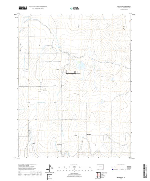
2022 Map of May Valley
USGS Topo · Published 2022About this map
The settlement of May Valley sits at the heart of an intricate irrigation network in Prowers County, where the high plains landscape is defined by the diversion of water. This modern survey illustrates the critical infrastructure of the region, anchored by the Fort Lyon Canal and Amity Canal. The territory is partitioned by an extensive system of waterways including the Comanche Canal, James Lateral, and the Wheatridge Lateral, reflecting the area's deep reliance on managed water for agriculture. Small communities such as Kornman, Culp, and Channing are situated along the grid of county roads, while Tinnes Airport and Fort Lyons Reservoir serve as prominent local landmarks. The distribution of these named locales and reservoirs like Prince Reservoir suggests a long-standing pattern of rural settlement clustered around reliable water sources and transportation routes like Canal Rd.
Find a feature on this map
47 named features on this map. Tap any name to fly to it.
Don’t see what you’re looking for? This feature index may not catch every label — zoom into the map to look around manually.
Map Details
Editions of this 2022 May Valley Map
This is the sole edition of this map. No revisions or reprints were ever made.
Other maps of this area

1890 · Granada
USGS Topo · 1:125,000

1892 · Lamar
USGS Topo · 1:125,000

1892 · Granada
USGS Topo · 1:125,000

1894 · Granada
USGS Topo · 1:125,000

1952 · Lamar West
USGS Topo · 1:24,000

1952 · Carlton
USGS Topo · 1:24,000

1953 · Lamar East
USGS Topo · 1:24,000

1954 · Lamar
USGS Topo · 1:250,000

1955 · Granada NW
USGS Topo · 1:24,000

1955 · May Valley
USGS Topo · 1:24,000