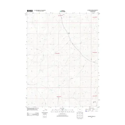
2013 Map of Mayberry Spring
USGS Topo · Published 2013About this map
Mayberry Spring and other vital water sources define this high-altitude landscape in Moffat County, Colorado. In an area where terrain is shaped by deep drainage patterns like Bighole Gulch and Greasewood Gulch, the presence of reliable water at Kelly Spring and Clayton Spring suggests their historic importance for cattle and land management. The 2013 survey shows a persistent network of rural infrastructure, where Co Hwy-7 serves as the primary artery connecting dispersed points across the sections. The secondary road system, including Co Road 142 and Co Road 44, follows the contours of the land, providing access to the open range and remote water points. This map documents the essential geography of the American West, where named springs and the roads leading to them are the primary markers of human presence in a wide, unpopulated expanse.
Find a feature on this map
19 named features on this map. Tap any name to fly to it.
Don’t see what you’re looking for? This feature index may not catch every label — zoom into the map to look around manually.
Map Details
Editions of this 2013 Mayberry Spring Map
This is the sole edition of this map. No revisions or reprints were ever made.
Other maps of this area

1916 · Craig
USGS Topo · 1:125,000

1954 · Vernal
USGS Topo · 1:250,000

1954 · Craig
USGS Topo · 1:250,000

1957 · Craig
USGS Topo · 1:250,000

1958 · Vernal
USGS Topo · 1:250,000

1958 · Craig
USGS Topo · 1:250,000

1958 · Maybell
USGS Topo · 1:62,500

1960 · Craig
USGS Topo · 1:250,000

1960 · Vernal
USGS Topo · 1:250,000

1962 · Craig
USGS Topo · 1:250,000