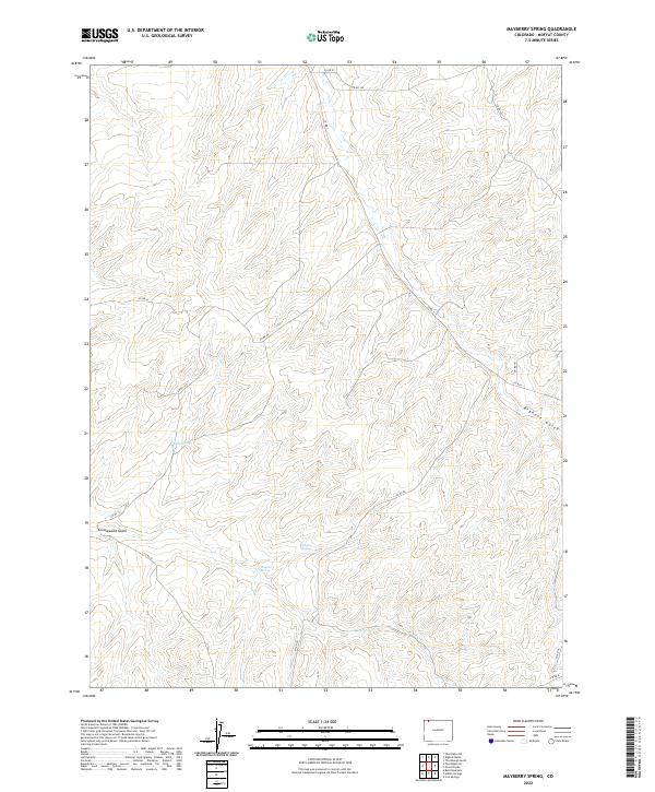
2022 Map of Mayberry Spring
USGS Topo · Published 2022About this map
Mayberry Spring serves as a critical water source in this high-altitude landscape of northwest Colorado. The terrain is characterized by a network of drainage features like Bighole Gulch and Greasewood Gulch, which dictate the placement of county roads across the basin. The map reveals a sparse, utilitarian road network including Co RD 44 and Co RD 91 that likely support local ranching or resource management.
Find a feature on this map
21 named features on this map. Tap any name to fly to it.
Don’t see what you’re looking for? This feature index may not catch every label — zoom into the map to look around manually.
Map Details
Editions of this 2022 Mayberry Spring Map
This is the sole edition of this map. No revisions or reprints were ever made.
Other maps of this area

1916 · Craig
USGS Topo · 1:125,000

1954 · Vernal
USGS Topo · 1:250,000

1954 · Craig
USGS Topo · 1:250,000

1957 · Craig
USGS Topo · 1:250,000

1958 · Vernal
USGS Topo · 1:250,000

1958 · Craig
USGS Topo · 1:250,000

1958 · Maybell
USGS Topo · 1:62,500

1960 · Craig
USGS Topo · 1:250,000

1960 · Vernal
USGS Topo · 1:250,000

1962 · Craig
USGS Topo · 1:250,000