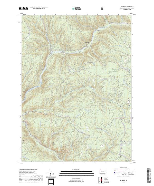
2023 Map of Mayburg
USGS Topo · Published 2023About this map
Allegheny National Forest encompasses this section of the Pennsylvania highlands, where the Tionesta Creek valley dictates the location of several small settlements. Mayburg sits at a significant bend in the creek, connected to other riverside points like Balltown, Porkey, and Minister by a network of forest roads and historic runs. The geography is defined by a dense system of tributaries, including Salmon Creek and Fools Creek, which carve deep hollows such as Dead Horse Hollow.
Find a feature on this map
53 named features on this map. Tap any name to fly to it.
Don’t see what you’re looking for? This feature index may not catch every label — zoom into the map to look around manually.
Map Details
Editions of this 2023 Mayburg Map
This is the sole edition of this map. No revisions or reprints were ever made.
Other maps of this area

1918 · Loleta
USGS Topo · 1:62,500

1922 · Tionesta
USGS Topo · 1:62,500

1924 · Tionesta
USGS Topo · 1:62,500

1927 · Tidioute
USGS Topo · 1:48,000

1930 · Tidioute
USGS Topo · 1:62,500

1935 · Sheffield
USGS Topo · 1:48,000

1936 · Marienville
USGS Topo · 1:48,000

1941 · Sheffield
USGS Topo · 1:62,500

1941 · Marienville
USGS Topo · 1:62,500

1946 · Tionesta
USGS Topo · 1:62,500
Featured Places
- Howe Township, PA
- Kingsley Township, PA
- Blue Jay, Howe Township
- Minister, Howe Township
- Porkey, Howe Township