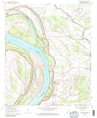
1970 Map of Mayersville
USGS Topo · Published 1986About this map
Mayersville stands on the eastern bank of the Mississippi River, serving as a central point in this 1970 landscape defined by the shifting hydrology of the Delta. The river's historical meanders have left behind complex features such as Old River Chute and Opossum Chute, while the prominent Duncansby Towhead and Island No 93 demonstrate the river's ongoing sedimentation. The map captures the agricultural and social infrastructure of Issaquena County, including the Issaquena Sch and New Bethel Ch. Cultural history is noted on the terrain at the Indian Mounds near the riverbank, providing a tangible link to ancient inhabitants. To the east, the drainage network including Steeles Bayou, Washington Bayou, and the New Valewood Ditch reveals the extensive engineering required to manage the low-lying floodplain for settlements like Hopedale and Addie.
Find a feature on this map
28 named features on this map. Tap any name to fly to it.
Don’t see what you’re looking for? This feature index may not catch every label — zoom into the map to look around manually.
Map Details
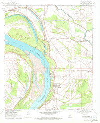
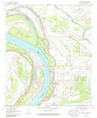
Editions of this 1970 Mayersville Map
3 editions found
Other maps of this area

1909 · Lake Providence
USGS Topo · 1:24,000

1909 · Wilsons Point
USGS Topo · 1:24,000

1909 · Millikin
USGS Topo · 1:24,000

1911 · Lake Providence
USGS Topo · 1:31,680

1913 · Wilson Point
USGS Topo · 1:31,680

1939 · Lorenzen
USGS Topo · 1:62,500

1939 · Readland
USGS Topo · 1:62,500

1939 · Mayersville
USGS Topo · 1:62,500

1939 · Swan Lake
USGS Topo · 1:62,500

1953 · Greenwood
USGS Topo · 1:250,000