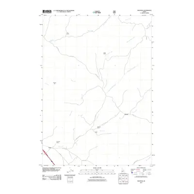
2011 Map of Mayfield
USGS Topo · Published 2011About this map
Mayfield and the nearby Regina settlement anchor this arid landscape southeast of Boise, where the high desert meets the foothills of the Boise Mountains. The geography is defined by a network of seasonal drainages and draws that carve through the plateau, including the prominent Indian Creek and the bifurcated West Fork Slater Creek and East Fork Slater Creek. The road network reflects a history of transit and ranching, with Old Hwy 30 running parallel to modern interstates and Foothills Ave skirting the rising terrain. Landmark features like Slaters Flat and the Seven L Ranch indicate a long-standing pastoral economy. Researchers can trace the drainage patterns of Blacks Creek and Sheep Creek, as well as named topographic features such as Caldwell Draw and Mcintyre Draw, which characterize the open range of southern Idaho at the start of the 21st century.
Find a feature on this map
26 named features on this map. Tap any name to fly to it.
Don’t see what you’re looking for? This feature index may not catch every label — zoom into the map to look around manually.
Map Details
Editions of this 2011 Mayfield Map
This is the sole edition of this map. No revisions or reprints were ever made.
Other maps of this area

1892 · Mountain Home
USGS Topo · 1:125,000

1892 · Boise
USGS Topo · 1:125,000

1892 · Bisuka
USGS Topo · 1:125,000

1893 · Mountain Home
USGS Topo · 1:125,000

1894 · Bisuka
USGS Topo · 1:125,000

1894 · Idaho Basin
USGS Topo · 1:125,000

1897 · Boise
USGS Topo · 1:125,000

1954 · Boise
USGS Topo · 1:62,500

1955 · Orchard
USGS Topo · 1:24,000

1955 · Hailey
USGS Topo · 1:250,000