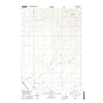
2017 Map of Mayfield
USGS Topo · Published 2017About this map
Mayfield and Regina anchor this high-desert landscape situated along the Ada and Elmore County border in southwestern Idaho. The terrain is characterized by a complex network of seasonal drainage patterns and draws, including Smith Draw, Caldwell Draw, and McIntyre Draw, which feed into larger watercourses like Indian Cr and Blacks Cr. To the northeast, the land rises into the timbered slopes of the Boise National Forest, where the topography becomes increasingly intricate with features like Tacket Gulch and Pole Gulch.
Find a feature on this map
49 named features on this map. Tap any name to fly to it.
Don’t see what you’re looking for? This feature index may not catch every label — zoom into the map to look around manually.
Map Details
Editions of this 2017 Mayfield Map
This is the sole edition of this map. No revisions or reprints were ever made.
Other maps of this area

1892 · Mountain Home
USGS Topo · 1:125,000

1892 · Boise
USGS Topo · 1:125,000

1892 · Bisuka
USGS Topo · 1:125,000

1893 · Mountain Home
USGS Topo · 1:125,000

1894 · Bisuka
USGS Topo · 1:125,000

1894 · Idaho Basin
USGS Topo · 1:125,000

1897 · Boise
USGS Topo · 1:125,000

1954 · Boise
USGS Topo · 1:62,500

1955 · Orchard
USGS Topo · 1:24,000

1955 · Hailey
USGS Topo · 1:250,000