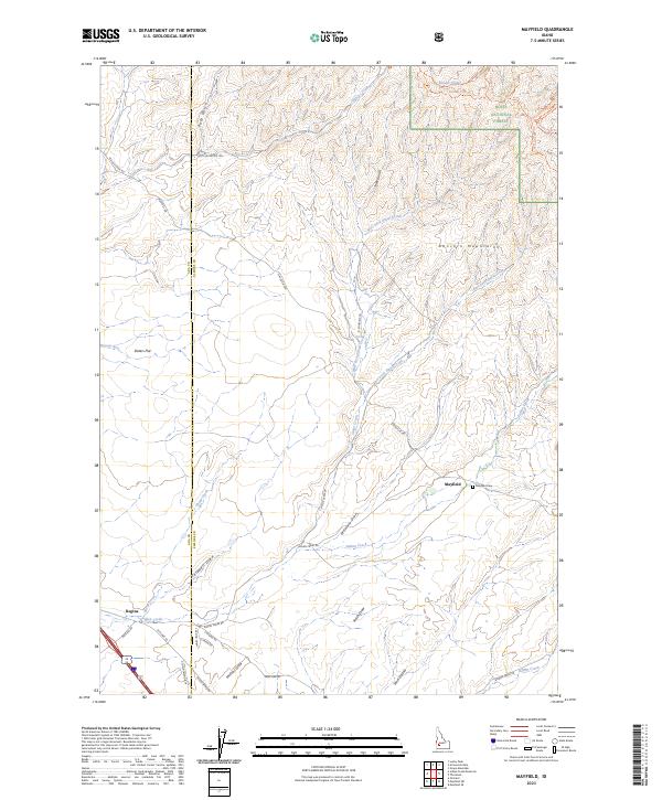
2023 Map of Mayfield
USGS Topo · Published 2023About this map
Mayfield and the nearby Mayfield Cem anchor the southeastern portion of this landscape, situated where the high desert flats begin to rise into the Danskin Mountains. The area is characterized by a complex network of seasonal drainage systems, including Indian Creek, Slater Creek, and the many draws like McIntyre Draw and Smith Draw that carve through the arid terrain. To the north, the boundary of the Boise National Forest marks a transition into more elevated, timbered country. Settlement patterns here follow the old transportation corridors, with Regina located in the southwest corner near the path of Old Hwy 30. The map captures the interface between ranching history on the Slater Flat and the recreational trails of the national forest, such as the various Danskin routes winding through the canyons.
Find a feature on this map
48 named features on this map. Tap any name to fly to it.
Don’t see what you’re looking for? This feature index may not catch every label — zoom into the map to look around manually.
Map Details
Editions of this 2023 Mayfield Map
This is the sole edition of this map. No revisions or reprints were ever made.
Other maps of this area

1892 · Mountain Home
USGS Topo · 1:125,000

1892 · Boise
USGS Topo · 1:125,000

1892 · Bisuka
USGS Topo · 1:125,000

1893 · Mountain Home
USGS Topo · 1:125,000

1894 · Bisuka
USGS Topo · 1:125,000

1894 · Idaho Basin
USGS Topo · 1:125,000

1897 · Boise
USGS Topo · 1:125,000

1954 · Boise
USGS Topo · 1:62,500

1955 · Orchard
USGS Topo · 1:24,000

1955 · Hailey
USGS Topo · 1:250,000