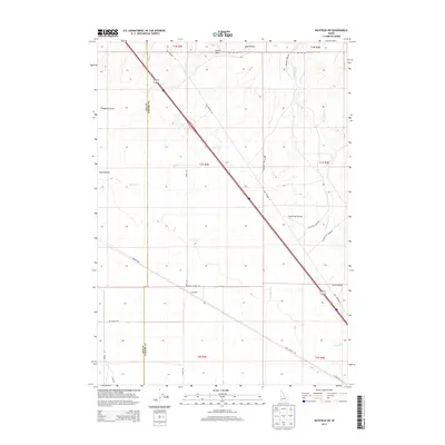
2013 Map of Mayfield SW
USGS Topo · Published 2013About this map
Red Baron Airpark and the settlement of Sunnyside anchor this High Desert landscape along the border of Ada and Elmore counties. This 2013 survey illustrates the modern transportation corridor that follows the historic path of Old Highway 30, cutting a diagonal swath through the section lines of the Public Land Survey System. The terrain is defined by a series of drainage systems, including McElroy Draw and Smith Draw, which flow toward Sand Hollow. To the east, the map details the winding courses of Bowns Creek and Soles Rest Creek, where local routes like Sunrider Ranch Way and Soles Rest Creek Rd provide access to the desert interior. The grid of roads, from Simco Cutoff Rd to E Monroe Ave, demonstrates how contemporary infrastructure has been superimposed on a landscape dominated by intermittent waterways and draws.
Find a feature on this map
31 named features on this map. Tap any name to fly to it.
Don’t see what you’re looking for? This feature index may not catch every label — zoom into the map to look around manually.
Map Details
Editions of this 2013 Mayfield SW Map
This is the sole edition of this map. No revisions or reprints were ever made.
Other maps of this area

1892 · Mountain Home
USGS Topo · 1:125,000

1892 · Bisuka
USGS Topo · 1:125,000

1893 · Mountain Home
USGS Topo · 1:125,000

1894 · Bisuka
USGS Topo · 1:125,000

1948 · Big Foot Butte
USGS Topo · 1:62,500

1948 · Little Joe Butte
USGS Topo · 1:24,000

1949 · Little Joe Butte
USGS Topo · 1:24,000

1955 · Orchard
USGS Topo · 1:24,000

1955 · Hailey
USGS Topo · 1:250,000

1955 · Boise
USGS Topo · 1:250,000