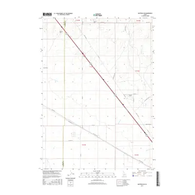
2017 Map of Mayfield SW
USGS Topo · Published 2017About this map
Red Baron Airpark serves as a modern aviation landmark in this portion of southwestern Idaho, situated near the boundary where Ada and Elmore Counties meet. The terrain is characterized by a network of drainage features and draws, most notably McElroy Draw and Smith Draw in the north, and Sand Hollow to the west. These seasonal watercourses dictate the local topography, influencing the paths of long-standing transit corridors like Old Hwy 30 and the diagonal stretch of Frontage Rd.
Find a feature on this map
30 named features on this map. Tap any name to fly to it.
Don’t see what you’re looking for? This feature index may not catch every label — zoom into the map to look around manually.
Map Details
Editions of this 2017 Mayfield SW Map
This is the sole edition of this map. No revisions or reprints were ever made.
Other maps of this area

1892 · Mountain Home
USGS Topo · 1:125,000

1892 · Bisuka
USGS Topo · 1:125,000

1893 · Mountain Home
USGS Topo · 1:125,000

1894 · Bisuka
USGS Topo · 1:125,000

1948 · Big Foot Butte
USGS Topo · 1:62,500

1948 · Little Joe Butte
USGS Topo · 1:24,000

1949 · Little Joe Butte
USGS Topo · 1:24,000

1955 · Orchard
USGS Topo · 1:24,000

1955 · Hailey
USGS Topo · 1:250,000

1955 · Boise
USGS Topo · 1:250,000