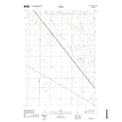
2023 Map of Mayfield SW
USGS Topo · Published 2023About this map
Red Baron Airpark serves as a modern landmark in this high-desert corridor where the high plains of southern Idaho meet the developing fringes of the Boise area. The landscape is defined by its drainage patterns, including the ephemeral waters of Bowns Creek and Soles Rest Creek, as well as the unique naming of Kwahate Naokwaide in the southeastern quadrant. This area straddles the Ada and Elmore County line, reflecting the transit-heavy character of the region where Frontage Rd and Old Hwy 30 parallel the main interstate thoroughfare. Significant terrain features such as Sand Hollow and McElroy Draw dictate the local topography, while the grid of roads like Simco Rd and Simco Cutoff Rd highlights the intersection of rural ranching access and regional transportation logistics.
Find a feature on this map
27 named features on this map. Tap any name to fly to it.
Don’t see what you’re looking for? This feature index may not catch every label — zoom into the map to look around manually.
Map Details
Editions of this 2023 Mayfield SW Map
This is the sole edition of this map. No revisions or reprints were ever made.
Other maps of this area

1892 · Mountain Home
USGS Topo · 1:125,000

1892 · Bisuka
USGS Topo · 1:125,000

1893 · Mountain Home
USGS Topo · 1:125,000

1894 · Bisuka
USGS Topo · 1:125,000

1948 · Big Foot Butte
USGS Topo · 1:62,500

1948 · Little Joe Butte
USGS Topo · 1:24,000

1949 · Little Joe Butte
USGS Topo · 1:24,000

1955 · Orchard
USGS Topo · 1:24,000

1955 · Hailey
USGS Topo · 1:250,000

1955 · Boise
USGS Topo · 1:250,000