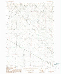
1990 Map of Mayfield SW
USGS Topo · Published 1991About this map
The high desert landscape along the Ada Co Elmore Co border is defined by a series of intermittent drainages including McElroy Hollow and Sand Hollow Draw. In the late 20th century, this area of Idaho served as a utility corridor, marked by extensive pipelines and transmission lines that cut across the undulating terrain. A distinct piece of transportation history is preserved here in the form of an Old Railroad Grade running through the northwestern section, indicating former rail connectivity through the hollows.
Find a feature on this map
19 named features on this map. Tap any name to fly to it.
Don’t see what you’re looking for? This feature index may not catch every label — zoom into the map to look around manually.
Map Details
Editions of this 1990 Mayfield SW Map
This is the sole edition of this map. No revisions or reprints were ever made.
Other maps of this area

1892 · Mountain Home
USGS Topo · 1:125,000

1892 · Bisuka
USGS Topo · 1:125,000

1893 · Mountain Home
USGS Topo · 1:125,000

1894 · Bisuka
USGS Topo · 1:125,000

1948 · Big Foot Butte
USGS Topo · 1:62,500

1948 · Little Joe Butte
USGS Topo · 1:24,000

1949 · Little Joe Butte
USGS Topo · 1:24,000

1955 · Orchard
USGS Topo · 1:24,000

1955 · Hailey
USGS Topo · 1:250,000

1955 · Boise
USGS Topo · 1:250,000