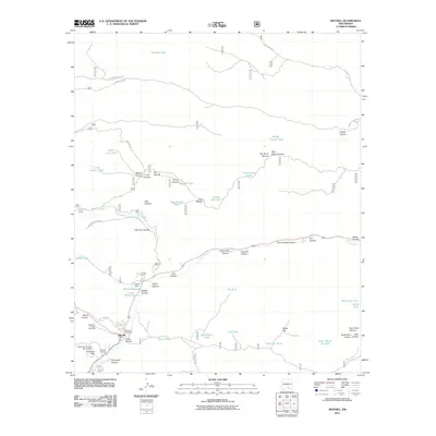
2011 Map of Mayhill
USGS Topo · Published 2011About this map
Mayhill serves as the focal point for this mountain landscape, situated at the junction where James Canyon meets the Rio Peñasco valley. The settlement is anchored by the Mayhill Post Office and surrounded by legacy sites of interest to genealogists, including Mountain Acres Cemetery, Mayhill Cemetery, and the curiously named Graveyard Canyon. The map reveals a sophisticated network of water management essential for high-altitude ranching and land use, featuring numerous named catchments such as North Long Tank, Black Dog Tank, and the Parker Reservoir held by Parker Dam. To the south, Miller Flats and White Flat provide level terrain amidst a dense web of drainages like Agua Chiquita Creek and Sawmill Canyon, illustrating the varied topography and the critical role of spring sites like Posey Springs in the arid high country.
Find a feature on this map
65 named features on this map. Tap any name to fly to it.
Don’t see what you’re looking for? This feature index may not catch every label — zoom into the map to look around manually.
Map Details
Editions of this 2011 Mayhill Map
This is the sole edition of this map. No revisions or reprints were ever made.
Other maps of this area

1952 · Cloudcroft
USGS Topo · 1:62,500

1954 · Carlsbad
USGS Topo · 1:250,000

1955 · Roswell
USGS Topo · 1:250,000

1958 · Carlsbad
USGS Topo · 1:250,000

1958 · Roswell
USGS Topo · 1:250,000

1962 · Roswell
USGS Topo · 1:250,000

1963 · Clements Ranch
USGS Topo · 1:24,000

1963 · Mayhill
USGS Topo · 1:24,000

1963 · Turkey Peak
USGS Topo · 1:24,000

1963 · Robertson Canyon
USGS Topo · 1:24,000