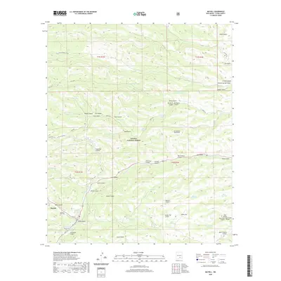
2020 Map of Mayhill
USGS Topo · Published 2020About this map
Mayhill sits at the convergence of rugged canyon networks and the Rio Peñasco within the Lincoln National Forest. This 2020 topographic study details a landscape defined by water management and high-altitude relief in the Sacramento Mountains. Evidence of local history and genealogy is anchored by the Mountain Acres Cem and Mayhill Cem, while the Old Mayhill L.O. suggests the area's legacy of forest service and fire observation.
Find a feature on this map
75 named features on this map. Tap any name to fly to it.
Don’t see what you’re looking for? This feature index may not catch every label — zoom into the map to look around manually.
Map Details
Editions of this 2020 Mayhill Map
This is the sole edition of this map. No revisions or reprints were ever made.
Other maps of this area
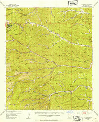
1952 · Cloudcroft
USGS Topo · 1:62,500
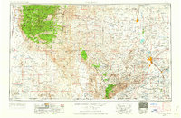
1954 · Carlsbad
USGS Topo · 1:250,000
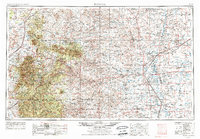
1955 · Roswell
USGS Topo · 1:250,000
1958 · Carlsbad
USGS Topo · 1:250,000
1958 · Roswell
USGS Topo · 1:250,000
1962 · Roswell
USGS Topo · 1:250,000
1963 · Clements Ranch
USGS Topo · 1:24,000
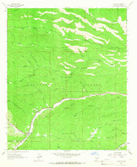
1963 · Mayhill
USGS Topo · 1:24,000
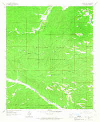
1963 · Turkey Peak
USGS Topo · 1:24,000
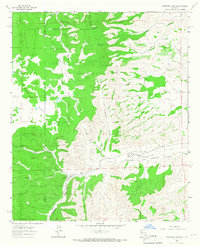
1963 · Robertson Canyon
USGS Topo · 1:24,000