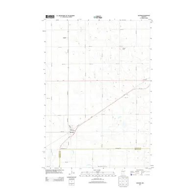
2013 Map of Maynard
USGS Topo · Published 2013About this map
Maynard serves as a primary hub in this southwestern Minnesota landscape, situated at the junction of MN-23 and several local thoroughfares like Spicer Ave. The town is characterized by its organized street grid, including Cynthia St, and the presence of a central Po. To the north lies the smaller settlement of Gluek, positioned along the north-south axis of 60th Ave SE.
Find a feature on this map
21 named features on this map. Tap any name to fly to it.
Don’t see what you’re looking for? This feature index may not catch every label — zoom into the map to look around manually.
Map Details
Editions of this 2013 Maynard Map
This is the sole edition of this map. No revisions or reprints were ever made.
Other maps of this area

1953 · New Ulm
USGS Topo · 1:250,000

1953 · Saint Cloud
USGS Topo · 1:250,000

1957 · Saint Cloud
USGS Topo · 1:250,000

1957 · New Ulm
USGS Topo · 1:250,000

1958 · New Ulm
USGS Topo · 1:250,000

1958 · Saint Cloud
USGS Topo · 1:250,000

1958 · Kerkhoven SE
USGS Topo · 1:24,000

1958 · Kerkhoven SW
USGS Topo · 1:24,000

1958 · Gracelock
USGS Topo · 1:24,000

1965 · Asbury
USGS Topo · 1:24,000