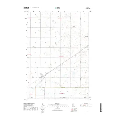
2019 Map of Maynard
USGS Topo · Published 2019About this map
Maynard and Clara City anchor this agricultural landscape in Chippewa County, where the transition from prairie to modern cropland is defined by a grid of rural avenues and state roads. The town of Maynard sits at the junction of Spicer Ave and 80th St SE, while the smaller settlement of Gluek remains to the north. Waterways like Hawk Cr and Chetomba Cr wind through the fields, providing natural relief to the geometric precision of the township and range lines.
Find a feature on this map
38 named features on this map. Tap any name to fly to it.
Don’t see what you’re looking for? This feature index may not catch every label — zoom into the map to look around manually.
Map Details
Editions of this 2019 Maynard Map
This is the sole edition of this map. No revisions or reprints were ever made.
Other maps of this area

1953 · New Ulm
USGS Topo · 1:250,000

1953 · Saint Cloud
USGS Topo · 1:250,000

1957 · Saint Cloud
USGS Topo · 1:250,000

1957 · New Ulm
USGS Topo · 1:250,000

1958 · New Ulm
USGS Topo · 1:250,000

1958 · Saint Cloud
USGS Topo · 1:250,000

1958 · Kerkhoven SE
USGS Topo · 1:24,000

1958 · Kerkhoven SW
USGS Topo · 1:24,000

1958 · Gracelock
USGS Topo · 1:24,000

1965 · Asbury
USGS Topo · 1:24,000