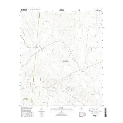
2016 Map of Maynard
USGS Topo · Published 2016About this map
Maynard sits at the intersection of a complex creek network and the sprawling timberlands of the Sam Houston National Forest in San Jacinto County. This area is defined by its deep burial grounds and ranching history, with numerous family and historic sites like the Old Waverly Cem, Hargrove Cem, and Williams Cem scattered across the landscape. The terrain is marked by significant water features including the winding Winters Bayou, Pursley Lake, and the many branches of Pumpkin Cr and Caney Cr.
Find a feature on this map
70 named features on this map. Tap any name to fly to it.
Don’t see what you’re looking for? This feature index may not catch every label — zoom into the map to look around manually.
Map Details
Editions of this 2016 Maynard Map
This is the sole edition of this map. No revisions or reprints were ever made.
Other maps of this area

1954 · Beaumont
USGS Topo · 1:250,000

1957 · Beaumont
USGS Topo · 1:250,000

1958 · Bear Creek
USGS Topo · 1:24,000

1959 · Conroe NE
USGS Topo · 1:24,000

1960 · Willis
USGS Topo · 1:24,000

1960 · Maynard
USGS Topo · 1:24,000

1960 · New Waverly
USGS Topo · 1:24,000

1960 · Stephen Creek
USGS Topo · 1:24,000

1960 · Coldspring
USGS Topo · 1:24,000

1960 · Phelps
USGS Topo · 1:24,000