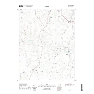
2019 Map of Mays Lick
USGS Topo · Published 2019About this map
The North Fork Licking River meanders through this Mason County landscape, carving a deep valley that separates the rural plateaus. In the northern reaches, the community of Old Washington and the southern outskirts of Maysville sit near the headwaters of Lawrence Creek and Limestone Creek. This region is characterized by its agricultural heritage, evidenced by the network of pikes and farm roads like Tobacco Road and Ford Acres Farm Road that connect outlying settlements such as Mays Lick and Lewisburg. Local history is anchored by sites like Saint Patricks Cemetery and Finch Cemetery, while the terrain is defined by the numerous watercourses, including Wells Creek and Lees Creek, that drain into the central river system. The convergence of established routes like Main Street and the Flemingsburg Mayslick Road highlights the area's long-standing role as a crossroads for central Kentucky commerce.
Find a feature on this map
70 named features on this map. Tap any name to fly to it.
Don’t see what you’re looking for? This feature index may not catch every label — zoom into the map to look around manually.
Map Details
Editions of this 2019 Mays Lick Map
This is the sole edition of this map. No revisions or reprints were ever made.
Other maps of this area

1915 · Maysville
USGS Topo · 1:62,500

1919 · Maysville
USGS Topo · 1:62,500

1929 · Springdale
USGS Topo · 1:48,000

1935 · Springdale
USGS Topo · 1:62,500

1951 · Flemingsburg
USGS Topo · 1:24,000

1952 · Cowan
USGS Topo · 1:24,000

1952 · Maysville East
USGS Topo · 1:24,000

1952 · Germantown
USGS Topo · 1:24,000

1952 · Elizaville
USGS Topo · 1:24,000

1952 · Maysville West
USGS Topo · 1:24,000