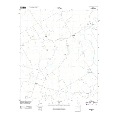
2010 Map of Maysfield
USGS Topo · Published 2010About this map
The Brazos River forms the eastern boundary of this landscape, where the rural settlements of Maysfield, Branchville, Crossroads, and Jones Prairie are connected by a network of farm-to-market roads. This 2010 survey highlights a burial record of Milam County's early families, including the G A Love Cemetery, Nance Cemetery, and Harrell Cemetery. The presence of the Little River Baptist Cemetery and String Prairie Methodist Cemetery underscores the central role of community congregations in this agricultural region. Evidence of local industry is found in the northeast corner at the Calvert Oil Field, while water management is noted by the McCrary Lake Dam and the Black Bridge crossing. The terrain is defined by several seasonal drainages such as Tyson Creek, Polecat Creek, and Harl Creek, which feed into the larger river system.
Find a feature on this map
56 named features on this map. Tap any name to fly to it.
Don’t see what you’re looking for? This feature index may not catch every label — zoom into the map to look around manually.
Map Details
Editions of this 2010 Maysfield Map
This is the sole edition of this map. No revisions or reprints were ever made.
Other maps of this area

1954 · Waco
USGS Topo · 1:250,000

1954 · Austin
USGS Topo · 1:250,000

1955 · Waco
USGS Topo · 1:250,000

1961 · Hanover
USGS Topo · 1:24,000

1961 · Cameron
USGS Topo · 1:24,000

1961 · Baileyville
USGS Topo · 1:24,000

1962 · Calvert
USGS Topo · 1:24,000

1962 · Maysfield
USGS Topo · 1:24,000

1962 · Rosebud
USGS Topo · 1:24,000

1962 · Hammond
USGS Topo · 1:24,000