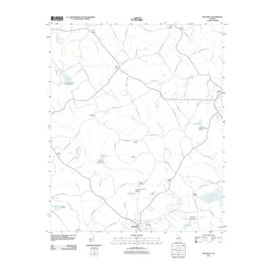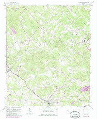
1964 Map of Maysville
USGS Topo · Published 1986About this map
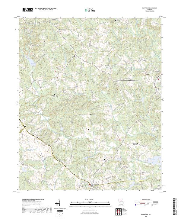
Maysville sits at the junction of the Southern railroad line and the borders of Banks and Jackson Counties, serving as a focal point for this agrarian landscape in the mid-1960s. The terrain is defined by a dense network of waterways, including Grove Creek, Candler Creek, and the Hudson River, which carve through the prominent Hickory Level elevation. This era of Georgia history is captured through its dispersed rural infrastructure, where life centered around local landmarks like the County High Sch in Homer and numerous country churches including Mt Carmel Ch and Silver Shoal Ch.
Find a feature on this map
25 named features on this map. Tap any name to fly to it.
Don’t see what you’re looking for? This feature index may not catch every label — zoom into the map to look around manually.
Map Details
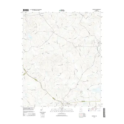
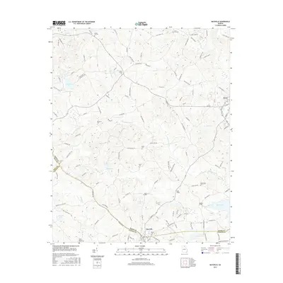
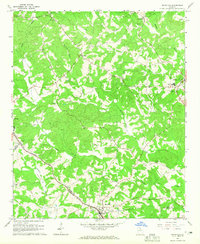
Editions of this 1964 Maysville Map
2 editions found
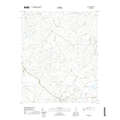
Historical Maps of Maysville Through Time
6 maps found