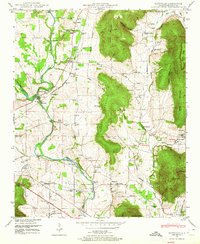
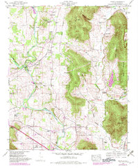
1948 Map of Maysville
USGS Topo · Published 1964About this map
The Flint River meanders through this portion of Madison County, providing a historical anchor for industry and transportation in the post-war era. Significant landmarks like the Bell Factory and McCaleb Mill at Three Forks reflect the early economic reliance on water power, while the Nashville and Chattanooga and Southern railroads mark the shift toward steam-powered commerce. This map preserves the traces of the Old Cherokee Boundary cutting across the landscape, alongside several federal military holdings including the McNutty Reservation and Wilson Reservation.
Find a feature on this map
86 named features on this map. Tap any name to fly to it.
Don’t see what you’re looking for? This feature index may not catch every label — zoom into the map to look around manually.
Map Details
Editions of this 1948 Maysville Map
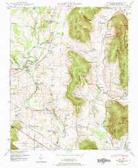
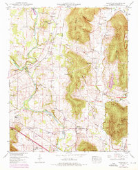
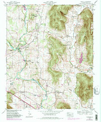
5 editions found
Other maps of this area

1888 · Scottsboro
USGS Topo · 1:125,000

1888 · Huntsville
USGS Topo · 1:125,000

1892 · Huntsville
USGS Topo · 1:125,000

1892 · Scottsboro
USGS Topo · 1:125,000

1936 · King Cove
USGS Topo · 1:24,000

1936 · Meridianville
USGS Topo · 1:24,000

1936 · Moontown
USGS Topo · 1:24,000

1936 · Fisk
USGS Topo · 1:24,000

1936 · Hollytree
USGS Topo · 1:24,000

1936 · Maysville
USGS Topo · 1:24,000