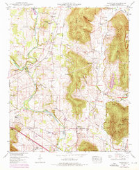
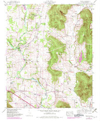
1948 Map of Maysville
USGS Topo · Published 1976About this map
Flint River and its winding course dominate this Madison County landscape, where agriculture and early industry met along the banks and shoals. Historical mill sites like McCaleb Mill and Wortham Mill are clearly documented, alongside the community of Bell Factory, signaling a local economy tied to the river's power. The map highlights a network of family-centered landmarks, from Bales Spring to numerous small burial grounds such as McCrary Cem and Sisco Cem.
Find a feature on this map
78 named features on this map. Tap any name to fly to it.
Don’t see what you’re looking for? This feature index may not catch every label — zoom into the map to look around manually.
Map Details
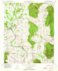
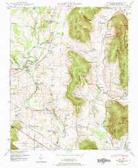
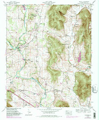
Editions of this 1948 Maysville Map
5 editions found
Other maps of this area

1888 · Scottsboro
USGS Topo · 1:125,000

1888 · Huntsville
USGS Topo · 1:125,000

1892 · Huntsville
USGS Topo · 1:125,000

1892 · Scottsboro
USGS Topo · 1:125,000

1936 · King Cove
USGS Topo · 1:24,000

1936 · Meridianville
USGS Topo · 1:24,000

1936 · Moontown
USGS Topo · 1:24,000

1936 · Fisk
USGS Topo · 1:24,000

1936 · Hollytree
USGS Topo · 1:24,000

1936 · Maysville
USGS Topo · 1:24,000