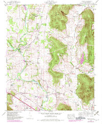
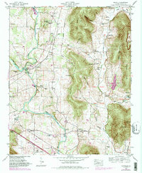
1948 Map of Maysville
USGS Topo · Published 1982About this map
The Flint River carves a winding path through this Madison County landscape, where early post-war agricultural life met the edge of the rising mountains. The map documents a corridor of valley settlements like Maysville and Burdine, connected by the Southern and Louisville And Nashville railroad lines. Along the riverbanks, the history of local industry is visible at McCaleb Mill and Wortham Mill Island, while the industrial namesake Bell Factory stands near the confluence of the Brier Fork.
Find a feature on this map
79 named features on this map. Tap any name to fly to it.
Don’t see what you’re looking for? This feature index may not catch every label — zoom into the map to look around manually.
Map Details
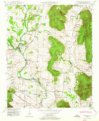
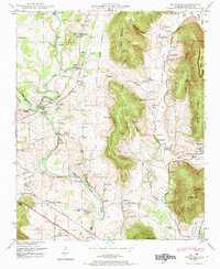
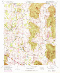
Editions of this 1948 Maysville Map
5 editions found
Other maps of this area

1888 · Scottsboro
USGS Topo · 1:125,000

1888 · Huntsville
USGS Topo · 1:125,000

1892 · Huntsville
USGS Topo · 1:125,000

1892 · Scottsboro
USGS Topo · 1:125,000

1936 · King Cove
USGS Topo · 1:24,000

1936 · Meridianville
USGS Topo · 1:24,000

1936 · Moontown
USGS Topo · 1:24,000

1936 · Fisk
USGS Topo · 1:24,000

1936 · Hollytree
USGS Topo · 1:24,000

1936 · Maysville
USGS Topo · 1:24,000