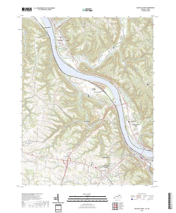
2022 Map of Maysville West
USGS Topo · Published 2022About this map
The Ohio River carves a deep valley through this borderland between Mason County, Kentucky, and Brown County, Ohio. On the Kentucky side, Maysville and Country Club Heights dominate the riverfront, while the Clyde T Barbour Pkwy bypasses the historic core to the south and west. The landscape is defined by steep, wooded bluffs including Jersey Ridge and Tuckahoe Ridge, where small communities like Moranburg and Cedar Hill sit above the floodplains. To the north, the Ohio villages of Ripley, South Ripley, and Aberdeen occupy the opposite bank, connected by the bridge carrying US Rte 62 68. Genealogists will find several notable burial sites scattered across the ridges, such as Maplewood Cem, Howard Ridge Cem, and the riverside Charter Oak Cem near Huntington Park.
Find a feature on this map
131 named features on this map. Tap any name to fly to it.
Don’t see what you’re looking for? This feature index may not catch every label — zoom into the map to look around manually.
Map Details
Editions of this 2022 Maysville West Map
This is the sole edition of this map. No revisions or reprints were ever made.
Other maps of this area

1915 · Maysville
USGS Topo · 1:62,500

1918 · Seaman
USGS Topo · 1:62,500

1919 · Maysville
USGS Topo · 1:62,500

1928 · Higginsport
USGS Topo · 1:48,000

1929 · Springdale
USGS Topo · 1:48,000

1931 · Higginsport
USGS Topo · 1:62,500

1935 · Springdale
USGS Topo · 1:62,500

1952 · Maysville East
USGS Topo · 1:24,000

1952 · Germantown
USGS Topo · 1:24,000

1952 · Higginsport
USGS Topo · 1:24,000