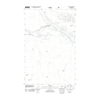
2011 Map of Mazama
USGS Topo · Published 2011About this map
Mazama serves as the central hub of this mountain landscape, situated at the confluence of the Methow River and Early Winters Creek. The settlement's proximity to the North Cascades Scenic Highway highlights its role in the region's transportation and recreation network during the early 21st century. The geography is defined by significant vertical relief, with Goat Wall and Spokane Gulch rising sharply to the north, while the southern reaches are dominated by the high peaks of North Gardner Mountain and Gardner Mountain.
Find a feature on this map
30 named features on this map. Tap any name to fly to it.
Don’t see what you’re looking for? This feature index may not catch every label — zoom into the map to look around manually.
Map Details
Editions of this 2011 Mazama Map
This is the sole edition of this map. No revisions or reprints were ever made.
Other maps of this area

1899 · Methow
USGS Topo · 1:125,000

1901 · Methow
USGS Topo · 1:125,000

1902 · Stehekin
USGS Topo · 1:125,000

1904 · Stehekin
USGS Topo · 1:125,000

1920 · Slate Pass
USGS Topo · 1:125,000

1955 · Concrete
USGS Topo · 1:250,000

1958 · Concrete
USGS Topo · 1:250,000

1962 · Concrete
USGS Topo · 1:250,000

1962 · Mazama
USGS Topo · 1:62,500

1963 · Silver Star Mtn.
USGS Topo · 1:24,000