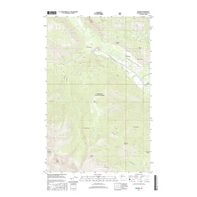
2017 Map of Mazama
USGS Topo · Published 2017About this map
Mazama sits at the convergence of the Methow River and Goat Cr, serving as a gateway to the high elevations of the Okanogan National Forest. This 2017 survey details a landscape where recreation and geography intersect, prominently featuring the Methow Community Trail as it winds through the Methow Valley. The terrain is defined by dramatic vertical relief, from the sheer face of Goat Wall overlooking the valley floor to the alpine heights of Gardner Mtn and N Gardner Mountain in the southwest corner. Waterways such as Early Winters Cr and Little Boulder Cr drain the surrounding peaks, while high-altitude features like Varden Lake and Cedar Falls illustrate the complex hydrology of this part of the Cascades. The map also preserves local infrastructure through named roads like Cassal Rd and N Goat Ck Loop Rd.
Find a feature on this map
61 named features on this map. Tap any name to fly to it.
Don’t see what you’re looking for? This feature index may not catch every label — zoom into the map to look around manually.
Map Details
Editions of this 2017 Mazama Map
This is the sole edition of this map. No revisions or reprints were ever made.
Other maps of this area
1899 · Methow
USGS Topo · 1:125,000
1901 · Methow
USGS Topo · 1:125,000
1902 · Stehekin
USGS Topo · 1:125,000
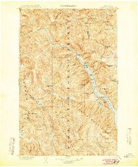
1904 · Stehekin
USGS Topo · 1:125,000
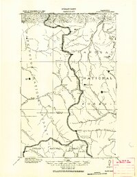
1920 · Slate Pass
USGS Topo · 1:125,000
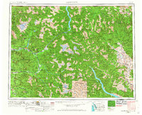
1955 · Concrete
USGS Topo · 1:250,000
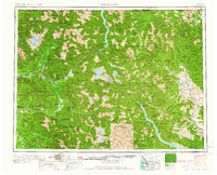
1958 · Concrete
USGS Topo · 1:250,000
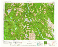
1962 · Concrete
USGS Topo · 1:250,000
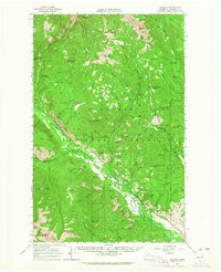
1962 · Mazama
USGS Topo · 1:62,500
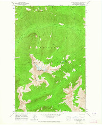
1963 · Silver Star Mtn.
USGS Topo · 1:24,000