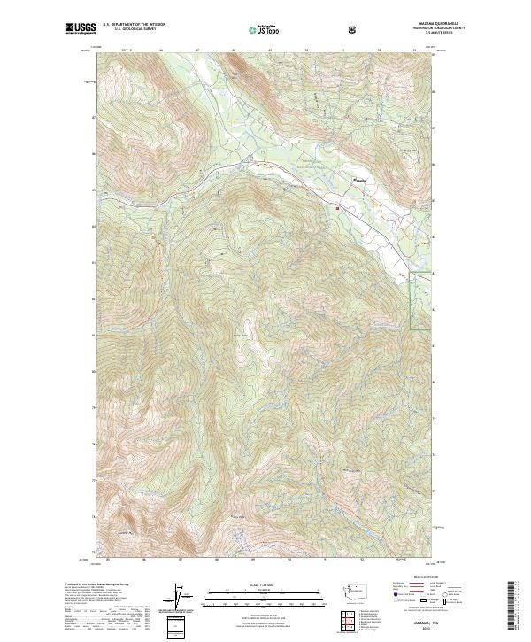
2023 Map of Mazama
USGS Topo · Published 2023About this map
Mazama serves as the central settlement in this high-elevation landscape, where the Methow River valley creates a corridor through the Okanogan National Forest. The transition from the river valley to the steep ridges of the Lake Chelan-Sawtooth Wilderness is marked by dramatic terrain features like Goat Wall and the heights of Gardner Mtn. The transport network relies on both modern roads and a significant system of trails, including the Methow Community Trl and the Milton Mountain Trl, which navigate the drainage basins of Early Winters Creek and Huckleberry Creek. This 2023 edition documents the complex boundary lines and land management divisions that define the Upper Methow Valley, providing a precise record of the peaks and valleys that shape the local geography, from McKinney Mtn in the east to the remote Cedar Falls in the west.
Find a feature on this map
54 named features on this map. Tap any name to fly to it.
Don’t see what you’re looking for? This feature index may not catch every label — zoom into the map to look around manually.
Map Details
Editions of this 2023 Mazama Map
This is the sole edition of this map. No revisions or reprints were ever made.
Other maps of this area

1899 · Methow
USGS Topo · 1:125,000

1901 · Methow
USGS Topo · 1:125,000

1902 · Stehekin
USGS Topo · 1:125,000

1904 · Stehekin
USGS Topo · 1:125,000

1920 · Slate Pass
USGS Topo · 1:125,000

1955 · Concrete
USGS Topo · 1:250,000

1958 · Concrete
USGS Topo · 1:250,000

1962 · Concrete
USGS Topo · 1:250,000

1962 · Mazama
USGS Topo · 1:62,500

1963 · Silver Star Mtn.
USGS Topo · 1:24,000