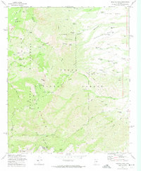
1972 Map of Mazatzal Peak
USGS Topo · Published 1974About this map
The Mazatzal Mountains dominate this high-elevation terrain within the Tonto National Forest along the county boundaries of Yavapai, Gila, and Maricopa. This 1970s survey illustrates a landscape defined by an intricate network of remote backcountry access, including the Deadman Trail, Barnhardt Trail, and Club Ranch Trail. The presence of established sites like Chilson Camp and Windsor Camp highlights the area's history of cattle ranching and Forest Service administration.
Find a feature on this map
70 named features on this map. Tap any name to fly to it.
Don’t see what you’re looking for? This feature index may not catch every label — zoom into the map to look around manually.
Map Details
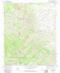
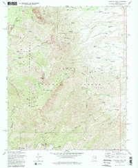
Editions of this 1972 Mazatzal Peak Map
3 editions found
Other maps of this area

1887 · Verde
USGS Topo · 1:250,000

1892 · Verde
USGS Topo · 1:250,000

1907 · Roosevelt
USGS Topo · 1:125,000

1909 · Four Peaks
USGS Topo · 1:125,000

1912 · Roosevelt
USGS Topo · 1:125,000

1929 · Turret Peak
USGS Topo · 1:125,000

1930 · Cave Creek
USGS Topo · 1:125,000

1933 · Turret Peak
USGS Topo · 1:125,000

1936 · Payson
USGS Topo · 1:48,000

1939 · Cave Creek
USGS Topo · 1:125,000