
1963 Map of Mc Carty Park
USGS Topo · Published 1966About this map
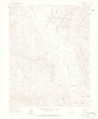
The high ridges of the Sangre De Cristo Mountains dominate this 1960s survey, where the Denver and Rio Grande Western railroad traverses the northern reaches through La Veta Pass. This landscape is defined by the transition from high-altitude peaks like Harrison Peak and Napoleon Peak to the deep drainages of Sawmill Canyon and American Gulch. Remote outposts such as Mc Carty Cow Camp and the small siding at Codo represent the limited human footprint in this mountainous terrain. The map captures a high-country network of movement, featuring a historic Wagon Road and numerous Jeep Trails that navigate the headwaters of Trinchera Creek and the forks of Mc Carty Park. Much of the eastern portion is protected within the San Isabel National Forest, marking a clear boundary between public lands and the private land grants of the southern Colorado frontier.
Find a feature on this map
30 named features on this map. Tap any name to fly to it.
Don’t see what you’re looking for? This feature index may not catch every label — zoom into the map to look around manually.
Map Details
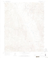
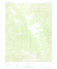
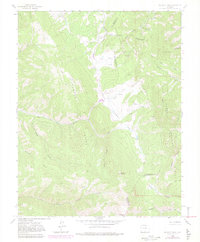
Editions of this 1963 Mc Carty Park Map
5 editions found
Other maps of this area

1889 · Huerfano Park
USGS Topo · 1:125,000

1892 · Huerfano Park
USGS Topo · 1:125,000

1954 · Trinidad
USGS Topo · 1:250,000

1955 · Trinidad
USGS Topo · 1:250,000

1958 · Trinidad
USGS Topo · 1:250,000

1959 · Trinidad
USGS Topo · 1:250,000

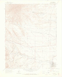
1963 · La Veta Pass
USGS Topo · 1:24,000
1963 · La Veta
USGS Topo · 1:24,000
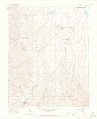
1963 · Cuchara
USGS Topo · 1:24,000

1967 · Ojito Peak
USGS Topo · 1:24,000