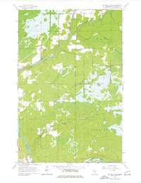
1963 Map of Mc Carty River
USGS Topo · Published 1977About this map
The St Louis River and its major tributaries define the water-logged landscape of southern St. Louis County in this 1960s survey. The confluence of the Whiteface River and the Little Whiteface River feeds into the main river channel, which winds through a territory marked by extensive wetlands like the Toivola Swamp. This area, spanning the townships of Van Buren, Floodwood, and Arrowhead, shows a distinct transition from the marshy lowlands to more elevated ground where Gravel Pits indicate localized extraction activity. The settlement pattern is sparse, constrained by the meandering river bends and the broad, open stretches of swamp, illustrating the challenges of the terrain in Northern Minnesota during this era of rural development.
Find a feature on this map
10 named features on this map. Tap any name to fly to it.
Don’t see what you’re looking for? This feature index may not catch every label — zoom into the map to look around manually.
Map Details
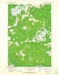
Editions of this 1963 Mc Carty River Map
2 editions found
Other maps of this area

1953 · Brookston NW
USGS Topo · 1:24,000

1953 · Duluth
USGS Topo · 1:250,000

1954 · Martin Lake
USGS Topo · 1:24,000

1954 · Hibbing
USGS Topo · 1:250,000

1957 · Hibbing
USGS Topo · 1:250,000

1958 · Hibbing
USGS Topo · 1:250,000

1958 · Duluth
USGS Topo · 1:250,000

1963 · Gowan
USGS Topo · 1:24,000

1963 · Prairie Lake
USGS Topo · 1:24,000

1963 · Elmer
USGS Topo · 1:24,000