
1939 Map of Mc Cord
USGS Topo · Published 1939About this map
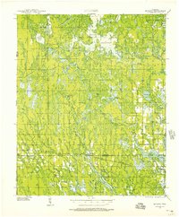
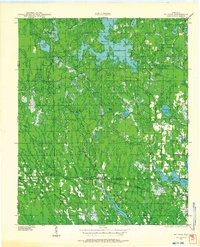
Willow Reservoir and the surrounding river systems of Oneida and Lincoln counties define this Northwoods landscape as it appeared in the late 1930s. The map captures a transition where the timber-heavy past met the development of water management and early motorized travel. Two major rail lines, the Minneapolis Sault Ste Marie and the Marinette Tomahawk and Western, cut through the southern townships, providing the primary lifelines for rural communities like Clifford, Tripoli, and McCord. The distribution of local schools, such as Collette Sch and Harmony Sch, alongside landmarks like the Jack Pine Fire Tower, reflects a scattered but organized settlement pattern. The intricate network of waterways, including the Tomahawk River and Somo River, remained central to the region's character even as the County Trunk Highway system began to expand across the timberlands.
Find a feature on this map
48 named features on this map. Tap any name to fly to it.
Don’t see what you’re looking for? This feature index may not catch every label — zoom into the map to look around manually.
Map Details
Editions of this 1939 Mc Cord Map
3 editions found
Other maps of this area

1938 · Minocqua
USGS Topo · 1:48,000

1938 · Lac Du Flambeau
USGS Topo · 1:48,000

1939 · Lac Du Flambeau
USGS Topo · 1:48,000

1939 · Cassian
USGS Topo · 1:48,000

1941 · Pike Lake
USGS Topo · 1:48,000

1941 · Brantwood
USGS Topo · 1:48,000

1942 · Pike Lake
USGS Topo · 1:48,000

1942 · Cassian
USGS Topo · 1:48,000

1943 · Brantwood
USGS Topo · 1:48,000

1945 · Rib Lake
USGS Topo · 1:48,000