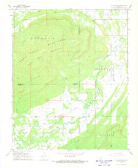
1968 Map of Mc Curtain SW
USGS Topo · Published 1969About this map
Diamond Mountains and Sans Bois Mountain dominate this landscape where the borders of Haskell, Latimer, and Le Flore counties converge. In the late 1960s, the region was characterized by its energy extraction, notably within the Red Oak Norris Gas Field and Kennady Field, where numerous Gas Wells and a network of pipelines crossed the valley floor. Small, persistent settlements such as Norris, Walls, and Milton served the rural population, while local spiritual and familial history is anchored by Rosedale Ch and Norris Cem. The terrain is marked by traditional watercourses like Brazil Creek and Cedar Creek, alongside industrial traces like a Strip Mine and a Jeep Trail that cut through the elevations, reflecting a mid-century balance between a timber-and-range economy and expanding natural gas infrastructure.
Find a feature on this map
30 named features on this map. Tap any name to fly to it.
Don’t see what you’re looking for? This feature index may not catch every label — zoom into the map to look around manually.
Map Details
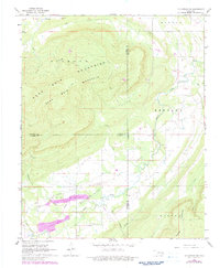
Editions of this 1968 Mc Curtain SW Map
2 editions found
Other maps of this area

1900 · Sansbois
USGS Topo · 1:125,000

1900 · Sallisaw
USGS Topo · 1:125,000

1900 · Winding Stair
USGS Topo · 1:125,000

1901 · Tuskahoma
USGS Topo · 1:125,000

1908 · Tuskahoma
USGS Topo · 1:125,000

1909 · Tuskahoma
USGS Topo · 1:125,000

1909 · Winding Stair
USGS Topo · 1:125,000

1909 · Sans Bois
USGS Topo · 1:125,000

1911 · Sallisaw
USGS Topo · 1:125,000

1911 · Sansbois
USGS Topo · 1:125,000